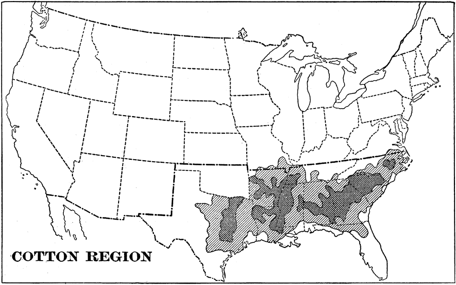
Description: A map from 1898 of the United States showing the cotton region in the contiguous 48 states at the time. The map is keyed to show areas of moderate and heavy cotton production within the region.
Place Names: Agriculture, cotto
ISO Topic Categories: farming,
economy
Keywords: Cotton Region of the United States, statistical, �historical, kAgriculture, agriculture,
economic, farming,
economy, Unknown,1898
Source: Jacques W. Redway and Russell Hinman, Natural Advanced Geography (New York, NY: American Book Company , 1898) 58
Map Credit: Courtesy the private collection of Roy Winkelman |
|