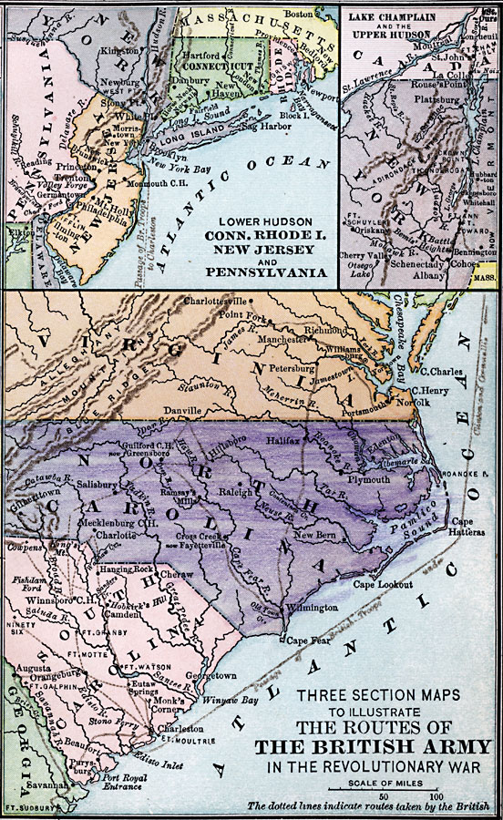
Description: A series of three maps showing the routes of the British Army during the Revolutionary War. The upper left map details the Lower Hudson, Connecticut, Rhode Island, New Jersey, and Pennsylvania region, the upper right map details Lake Champlain and upper Hudson Valley, and the lower map shows the parts of Virginia, North Carolina, South Carolina, and Georgia involved in the conflict.
Place Names: Early America 1400-1800, New York, �Boston, �Hartford, �Danbury, �Charlotte, �American Revolution, �Colonial America, �Englis
ISO Topic Categories: intelligenceMilitary,
inlandWaters,
location,
oceans,
boundaries
Keywords: Routes of the British Army, physical, �political, �historical, kAmericanRevolution, physical features, major political subdivisions,
country borders, American Revolution, intelligenceMilitary,
inlandWaters,
location,
oceans,
boundaries, Unknown, 1775–1783
Source: Joel Dorman Steele, A Brief History of the United States (New York, NY: American Book Company, 1885) 101
Map Credit: Courtesy the private collection of Roy Winkelman |
|