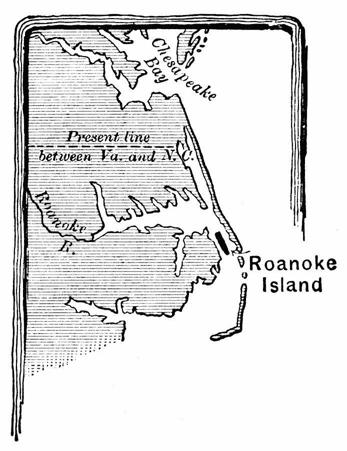
Description: A base map of eastern Virginia and North Carolina showing Roanoke Island, site of the first attempt to establish an English settlement by Sir Walter Raleigh in 1585.
Place Names: Early America 1400-1800, roanoke, �English, �Colonial Americ
ISO Topic Categories: inlandWaters,
location,
boundaries
Keywords: Roanoke Island, political, �physical, physical features, major political subdivisions, inlandWaters,
location,
boundaries, Unknown, 1585
Source: Edward Eggleston, The Household History of the United States and Its People (New York, NY: D. Appleton and Company, 1898) 17
Map Credit: Courtesy the private collection of Roy Winkelman |
|