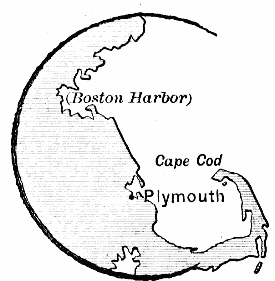
Description: A sketch map of Massachusetts Bay showing the area of the Pilgrim landing on Cape Cod, settlement of Plymouth, and relative proximity to Boston Harbor.
Place Names: Massachusetts, Plymouth, �Cape Co
ISO Topic Categories: oceans,
location
Keywords: Plymouth, physical, physical features, oceans,
location, Unknown, 1620
Source: Edward Eggleston, The Household History of the United States and Its People (New York, NY: D. Appleton and Company, 1898) 39
Map Credit: Courtesy the private collection of Roy Winkelman |
|