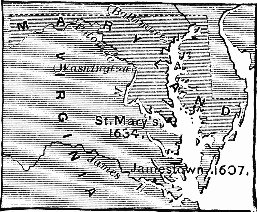
Description: A map of the early colonies of Virginia and Maryland showing the first settlements of Jamestown (1607) and St. Mary's (1634). The future sites of Baltimore (1729) and Washington (1790) are also shown.
Place Names: Early America 1400-1800, Washington D.C., �Jamestown, �St. Mary's, �Colonial America, �Englis
ISO Topic Categories: inlandWaters,
location,
oceans,
boundaries
Keywords: Colonial Maryland and Virginia, physical, �political, physical features, major political subdivisions, inlandWaters,
location,
oceans,
boundaries, Unknown, 1607–1634
Source: Edward Eggleston, The Household History of the United States and Its People (New York, NY: D. Appleton and Company, 1898) 55
Map Credit: Courtesy the private collection of Roy Winkelman |
|