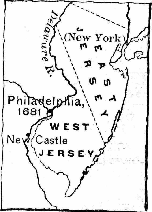
Description: A sketch map of New Jersey showing the boundary between West New Jersey and East New Jersey established in 1676 (unified under the governor of New York in 1702), and the neighboring cities of New York, Philadelphia and Newcastle.
Place Names: Early America 1400-1800, New York, �Philadelphia, �Colonial America, �Englis
ISO Topic Categories: inlandWaters,
location,
oceans,
boundaries
Keywords: The Two Jerseys, physical, �political, physical features, major political subdivisions, inlandWaters,
location,
oceans,
boundaries, Unknown, 1676–1702
Source: Edward Eggleston, The Household History of the United States and Its People (New York, NY: D. Appleton and Company, 1898) 62
Map Credit: Courtesy the private collection of Roy Winkelman |
|