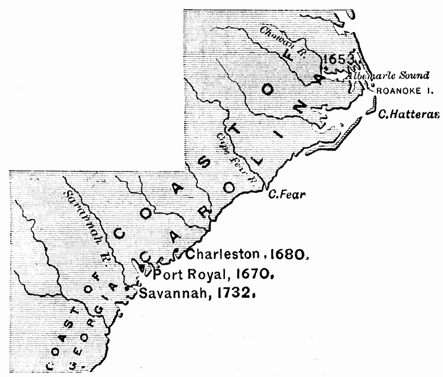
Description: A map of the coastal Carolinas, and part of the newly formed Georgia Colony, or Province of Georgia, in 1732. The map shows the earlier settlements of the Albemarle Sound (1653), Port Royal (1670), Charleston (1680), and the settlement of Savannah in the same year as the Province of Georgia was established under charter by King George II as a buffer between the Carolinas and Spanish Florida.
Place Names: Early America 1400-1800, Savannah, �Port Royal, �Charleston, �Colonial America, �Englis
ISO Topic Categories: inlandWaters,
location,
oceans
Keywords: Georgia Projected, physical, physical features, inlandWaters,
location,
oceans, Unknown, 1732
Source: Edward Eggleston, The Household History of the United States and Its People (New York, NY: D. Appleton and Company, 1898) 63
Map Credit: Courtesy the private collection of Roy Winkelman |
|