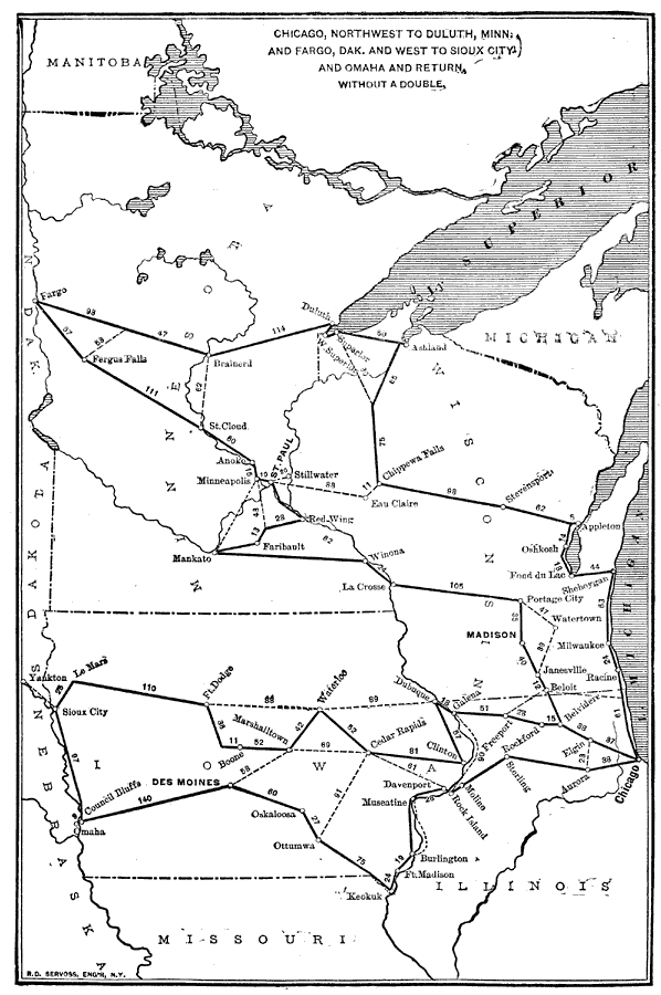
Description: Chicago, Northwest to Duluth, Minn. And Fargo, Dak. and west to Sioux City and Omaha and return, without a double.—Reference Book (and Key) Containing Ratings of Merchants, Manufacturers and Traders Generally, throughout the United States & Canada, 1902
Place Names: Transportation, Fergus Falls, �Fargo, �Brainerd, �St. Cloud, �Minneapolis, �Stillwater, �Eau Claire, �Madison, �Des Moines, �Le Mans, �Omaha, �Keokuk, �Rock Island, �Chicago, �Aurora, �Rockford, �Freeport, �Milwaukee, �Oshkosh, �railroad
ISO Topic Categories: boundaries,
inlandWaters,
location,
transportation
Keywords: Long Distance Routes out of Chicago, physical, �political, �transportation, kTransportation, physical features, country borders,
major political subdivisions, railroads, boundaries,
inlandWaters,
location,
transportation, Unknown,1902
Source: , Reference Book (and Key) Containing Ratings of Merchants, Manufacturers and Traders Generally, throughout the United States & Canada (New York, NY: R.G. Dun & Co., 1902)
Map Credit: Courtesy the private collection of Roy Winkelman |
|