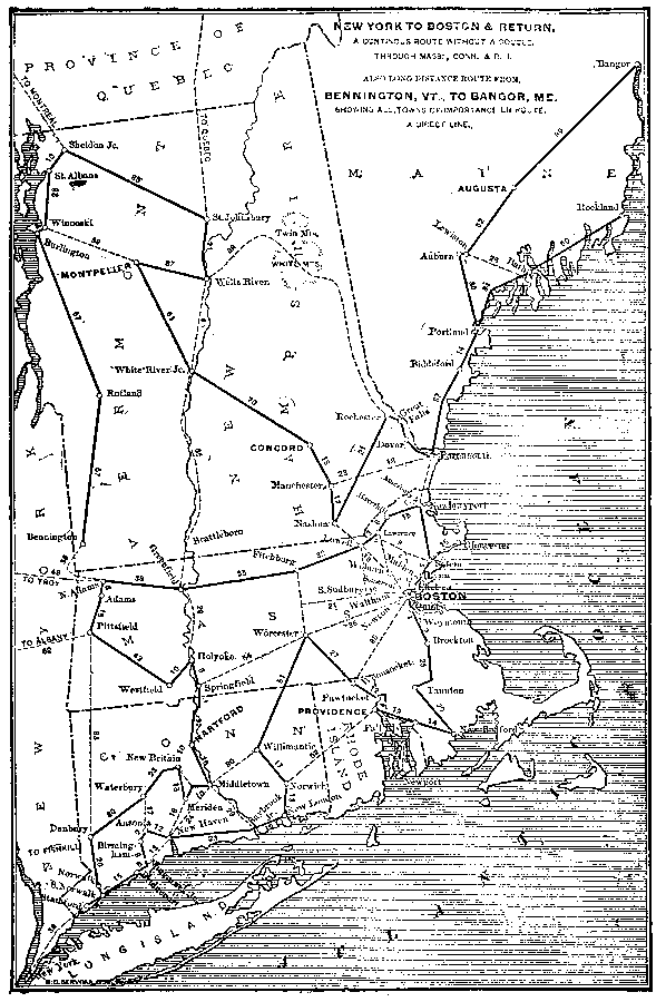
Description: New York to Boston and return. A continuous route without a double. Through Mass., Conn., and R.I. Also long distance route from Bennington, Vt., to Bangor, Me. Showing all towns of importance en route, a direct line.—Reference Book (and Key) Containing Ratings of Merchants, Manufacturers and Traders Generally, throughout the United States & Canada, 1902
Place Names: Transportation, Montpelier, �Burlington, �Rutland, �Greenfield, �Adams, �Danbury, �Norwalk, �Norwich, �Providence, �Pawtucket, �Boston, �Portland, �Concord, �Auburn, �Lewiston, �Bath, �Augusta, �Bangor, �New London, �Bridgeport, �railroad
ISO Topic Categories: boundaries,
inlandWaters,
location,
oceans,
transportation
Keywords: Long Distance Routes between New York and Boston, physical, �political, �transportation, kTransportation, physical features, country borders,
major political subdivisions, railroads, boundaries,
inlandWaters,
location,
oceans,
transportation, Unknown,1902
Source: , Reference Book (and Key) Containing Ratings of Merchants, Manufacturers and Traders Generally, throughout the United States & Canada (New York, NY: R.G. Dun & Co., 1902)
Map Credit: Courtesy the private collection of Roy Winkelman |
|