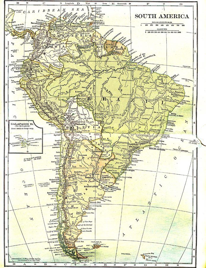
Description: A map from 1921 of South America showing the political boundaries of the time, major cities, railroads, terrain, rivers, and coastal features, and includes an insert map of the Galapagos Islands. " South America, the fourth largest grand division of the earth. It is the southern continent of America, or the New World, and is separated from North America in part by the Caribbean Sea and the Gulf of Mexico and is connected with it by the narrow Isthmus of Panama. Although the two continents have developed economically along decidedly individual lines, it is interesting to note that together they represent the world's great centers of democracy; no independent country in this vast expanse has a monarchical form of government. " — Foster, 1921.
Place Names: A Complete Map of South America, Argentina, �Bolivia, �Brazil, �Columbia, �Chile, �Ecuador, �Paraguay, �Peru, �Uruguay, �Venezuel
ISO Topic Categories: society
Keywords: South America, political, �physical, physical features,
topographical, country borders, society, Unknown,1921
Source: Ellsworth D. Foster, ed., The American Educator Vol. 7 (Chicago, IL: Ralph Durham Company, 1921) 3350
Map Credit: Courtesy the private collection of Roy Winkelman |
|