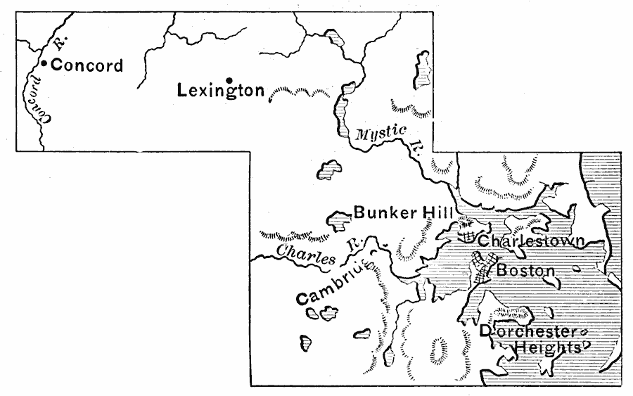
Description: A map of the vicinity of Boston in 1775 at the opening of the American Revolutionary War, showing Dorchester Heights, Boston, Charlestown, Bunker Hill, Lexington, and Concord.
Place Names: Massachusetts, Concord, �Lexington, �Bunker Hill, �Boston, �Cambridg
ISO Topic Categories: inlandWaters,
oceans,
location
Keywords: Vicinity of Boston, physical, �political, �historical, kAmericanRevolution, physical features, local jurisdictions, American Revolution, inlandWaters,
oceans,
location, Unknown, 1775
Source: Edward Eggleston, The Household History of the United States and Its People (New York, NY: D. Appleton and Company, 1898) 169
Map Credit: Courtesy the private collection of Roy Winkelman |
|