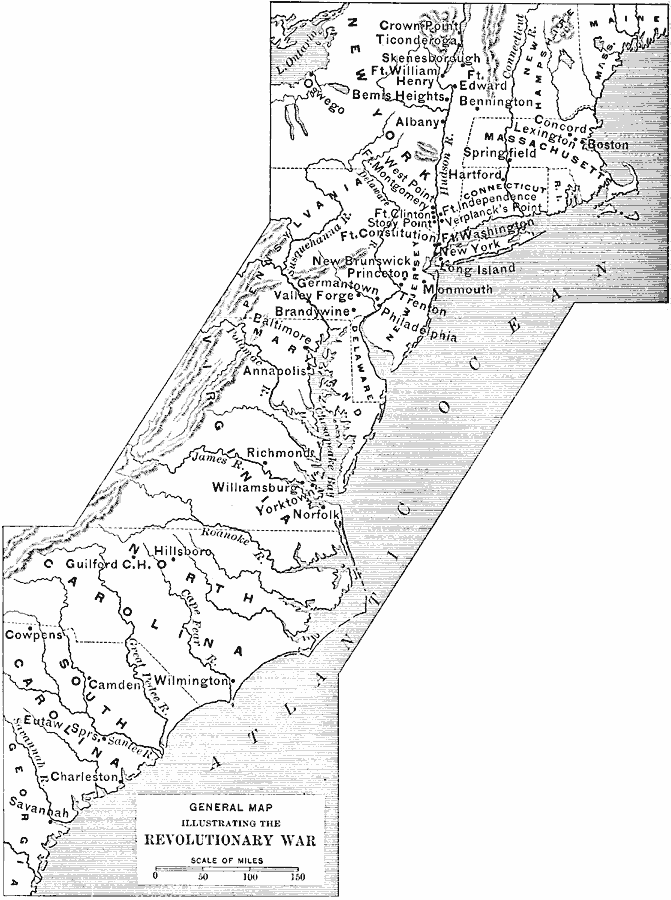
Description: A general map of the Colonies during the American Revolutionary War showing significant battle sites in the region from the Hudson River Valley south to Savannah.
Place Names: Early America 1400-1800, Boston, �New York, �Baltimore, �Annapolis, �Williamsburg, �Richmond, �Hartford, �Colonial America, �American Revolution, �Englis
ISO Topic Categories: boundaries,
inlandWaters,
location,
oceans,
intelligenceMilitary
Keywords: The Colonies During the American Revolution, physical, �political, �historical, kAmericanRevolution, physical features, major political subdivisions, American Revolution, boundaries,
inlandWaters,
location,
oceans,
intelligenceMilitary, Unknown, 1775–1783
Source: Edward Eggleston, The Household History of the United States and Its People (New York, NY: D. Appleton and Company, 1898)
Map Credit: Courtesy the private collection of Roy Winkelman |
|