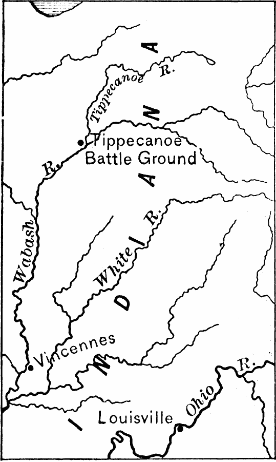
Description: A map of the area around the Wabash and Tippecanoe rivers in Indiana and the site of the Battle of Tippecanoe (November 7, 1811) during Tecumseh's War. The map shows the settlements of Vincennes on the Wabash River and Louisville on the Ohio River.
Place Names: Indiana, Louisvill
ISO Topic Categories: location,
inlandWaters,
intelligenceMilitary
Keywords: Battle of Tippecanoe, physical, �historical, �battle of tippecanoe, kNativeAmerican, physical features, other military, location,
inlandWaters,
intelligenceMilitary, Unknown, 1811
Source: Edward Eggleston, The Household History of the United States and Its People (New York, NY: D. Appleton and Company, 1898) 246
Map Credit: Courtesy the private collection of Roy Winkelman |
|