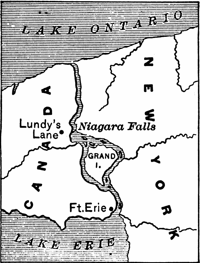
Description: A map of the Niagara River between Lake Erie and Lake Ontario showing the site of the Battle of Lundy's Lane during the War of 1812.
Place Names: Canada, War of 1812, Lundys Lan
ISO Topic Categories: boundaries,
intelligenceMilitary,
inlandWaters,
location
Keywords: Niagara Falls During the War of 1812, physical, �political, �historical, �war of 1812, physical features, country borders,
major political subdivisions, other military, boundaries,
intelligenceMilitary,
inlandWaters,
location, Unknown, 1814
Source: Edward Eggleston, The Household History of the United States and Its People (New York, NY: D. Appleton and Company, 1898) 259
Map Credit: Courtesy the private collection of Roy Winkelman |
|