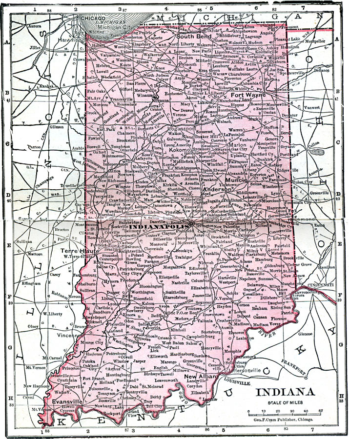
Description: A map from 1906 of Indiana showing the State capital at Indianapolis, major cities and towns, railroads, and rivers.
Place Names: Indiana, Columbus, �Evansville, �Fort Wayne, �Indianapolis, �La Fayette, �Lawrenceburg, �Madison, �New Albany, �South Bend, �Terre Haut
ISO Topic Categories: boundaries,
inlandWaters,
location,
oceans
Keywords: Indiana, physical, �political, �borders, �boundaries, �physical features, country borders, boundaries,
inlandWaters,
location,
oceans, Unknown, 1906
Source: George F. Cram , Cram's Quick Reference Atlas and Gazetteer of the World (Chicago , IL: George F. Cram Series of Atlases, 1906) 26
Map Credit: Courtesy the private collection of Roy Winkelman |
|