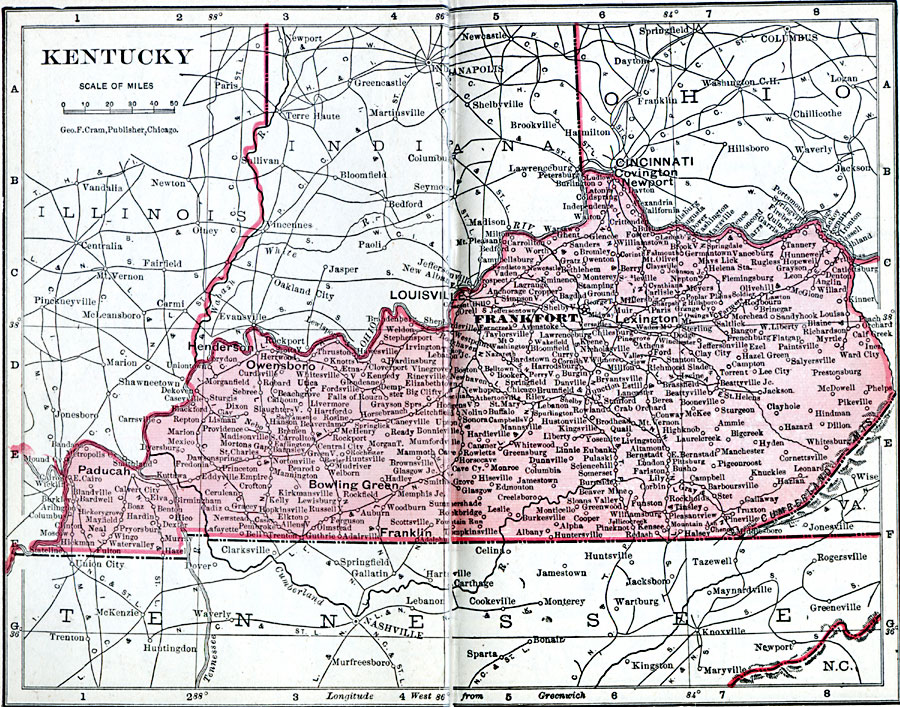
Description: A map from 1906 of Kentucky showing the State capital of Frankfort, major cities and towns, railroads, and rivers.
Place Names: Kentucky, Burkesville, �Danville, �Frankfort, �Grayson, �Lexington, �Louisa, �Louisville, �Madisonville, �Shelbyville, �Versaille
ISO Topic Categories: boundaries,
inlandWaters,
location,
oceans
Keywords: Kentucky, physical, �political, �borders, �boundaries, �physical features, country borders, boundaries,
inlandWaters,
location,
oceans, Unknown, 1906
Source: George F. Cram , Cram's Quick Reference Atlas and Gazetteer of the World (Chicago , IL: George F. Cram Series of Atlases, 1906) 27
Map Credit: Courtesy the private collection of Roy Winkelman |
|