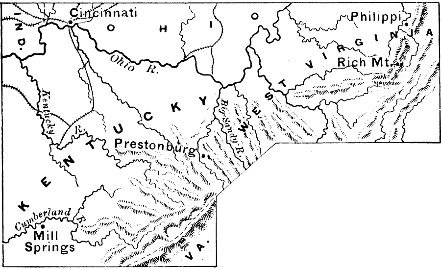
Description: A map of the parts of Kentucky and West Virginia, where some early battles of the American Civil War were fought. The map shows terrain features, rivers, railroads, and the cities and towns of Cincinnati, Philippi, Rich Mountain, Prestonburg, and Mill Springs.
Place Names: Civil War, Cincinnatti, �Mill Springs, �Philippi, �Kentucky, �West Virgini
ISO Topic Categories: boundaries,
intelligenceMilitary,
inlandWaters,
location
Keywords: Kentucky and West Virginia, physical, �historical, physical features, Civil War, boundaries,
intelligenceMilitary,
inlandWaters,
location, Unknown, 1861–1865
Source: Edward Eggleston, The Household History of the United States and Its People (New York, NY: D. Appleton and Company, 1898) 312
Map Credit: Courtesy the private collection of Roy Winkelman |
|