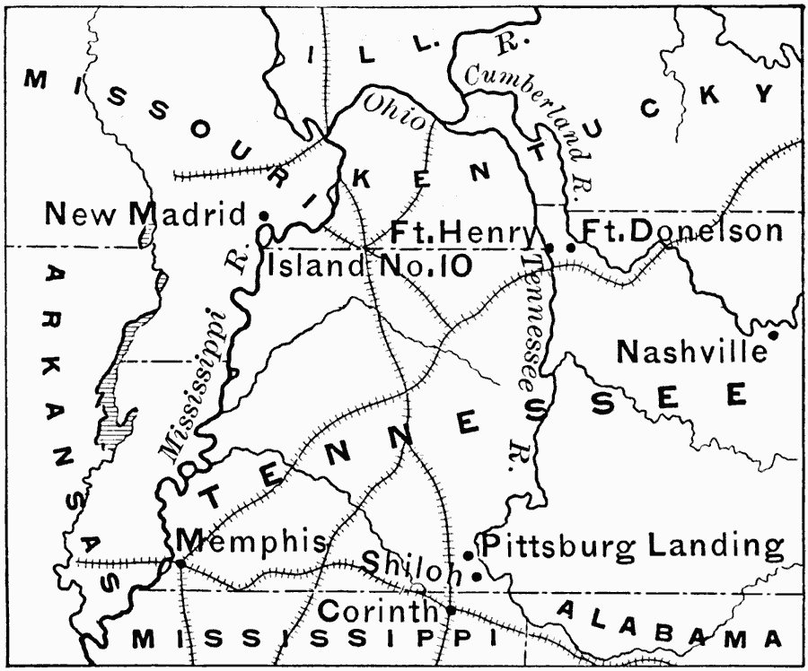
Description: A map the area near the boundary of Tennessee and Mississippi showing the region where General Grant advanced towards Corinth in 1862. Corinth is at the junction of two railroads which made it strategically important to the Confederacy during the American Civil War. The map shows the Mississippi River, the railroads, Forts Henry and Donelson, Island No. 10, and the cities and towns of Memphis, Shiloh, Pittsburg Landing, Nashville, and New Madrid.
Place Names: Civil War, New Madrid, �Memphis, �Shiloh, �Pittsburg Landing,�Corint
ISO Topic Categories: location,
inlandWaters,
transportation,
boundaries,
intelligenceMilitary
Keywords: Grant Moves Towards Corinth, physical, �political, �transportation, �historical, physical features, major political subdivisions, railroads, Civil War, location,
inlandWaters,
transportation,
boundaries,
intelligenceMilitary, Unknown, 1862
Source: Edward Eggleston, The Household History of the United States and Its People (New York, NY: D. Appleton and Company, 1898) 317
Map Credit: Courtesy the private collection of Roy Winkelman |
|