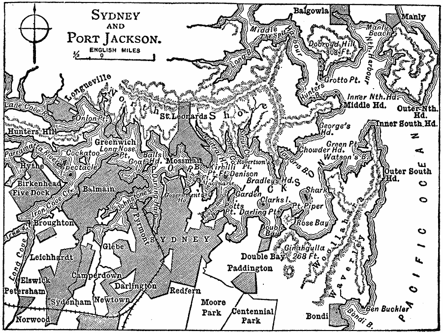
Description: A detail map from 1909 of Sydney and Port Jackson showing the urban areas of Sydney, the railway from the port, and coastal features of the bay.
Place Names: New South Wales, Sydney, �Port Jackson, �Paddington, �Balgowla, �Manly, �Dalmain, �Longuevill
ISO Topic Categories: boundaries,
inlandWaters,
location,
transportation,
oceans
Keywords: Sydney and Port Jackson, physical, �political, �transportation, physical features, local jurisdictions, railroads, boundaries,
inlandWaters,
location,
transportation,
oceans, Unknown, 1909
Source: Chandler B. Beach, The New Student's Reference Work (Chicago, IL: F. E. Compton and Company, 1909) 1859
Map Credit: Courtesy the private collection of Roy Winkelman |
|