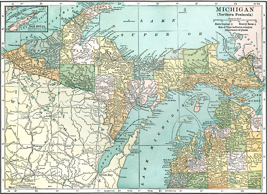
Description: A map from 1920 of the northern part of Michigan, or Upper Peninsula, showing counties and county seats, major cities and towns, railroads, rivers, and lake shoreline. An inset map details Isle Royal.
Place Names: Michigan, Calumet, �Ishpeming, �Marquette, �Escanaba, �Sault Ste. Marie, �Traverse Cit
ISO Topic Categories: boundaries,
inlandWaters,
location,
transportation
Keywords: Michigan's Northern Peninsula, physical, �political, �transportation, physical features, country borders,
major political subdivisions,
county borders, roads,
railroads, boundaries,
inlandWaters,
location,
transportation, Unknown, 1920
Source: , Leslie's New World Atlas (New York City, NY: Leslie-Judge Company, 1920) 65
Map Credit: Courtesy the private collection of Roy Winkelman |
|