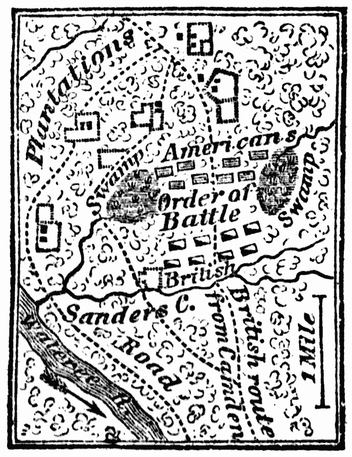
Description: A map showing the British and American forces at the Battle of Sanders' Creek during the American Revolution.
Place Names: South Carolina, Sanders' Cree
ISO Topic Categories: inlandWaters,
location,
intelligenceMilitary,
biota
Keywords: Battle of Sanders' Creek, physical, �statistical, �historical, kBattle, physical features, vegetation, American Revolution, inlandWaters,
location,
intelligenceMilitary,
biota, Unknown, 1780
Source: Marcius Willson, History of the United States (New York, NY: Ivison, Blakeman, Taylor, and Co., 1872) 262
Map Credit: Courtesy the private collection of Roy Winkelman |
|