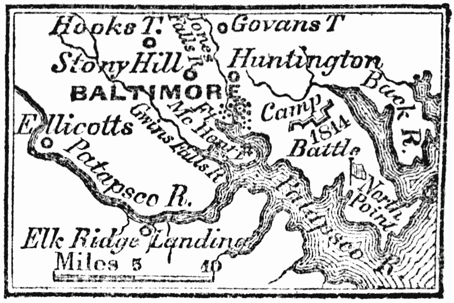
Description: A map from 1872 of the vicinity of Baltimore in 1814, showing the battle sites and fortifications during the British campaign to capture the city.
Place Names: Maryland, Baltimore, �Huntington,
ISO Topic Categories: inlandWaters,
location
Keywords: Vicinity of Baltimore, physical, �historical, �War of 1812, physical features, local jurisdictions, other military, inlandWaters,
location, Unknown, 1814
Source: Marcius Willson, History of the United States (New York, NY: Ivison, Blakeman, Taylor, and Co., 1872) 323
Map Credit: Courtesy the private collection of Roy Winkelman |
|