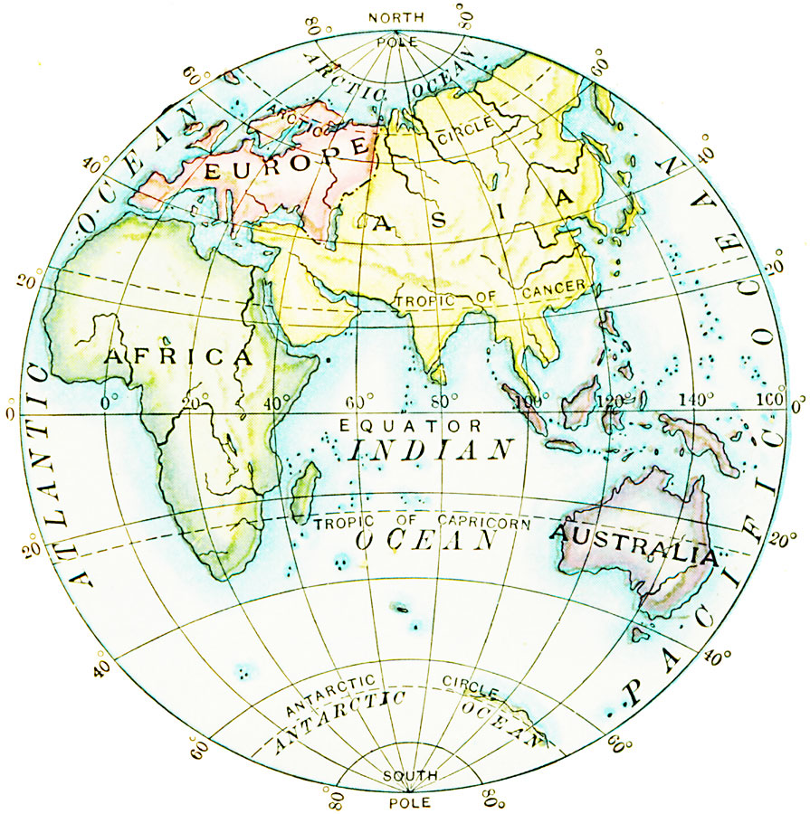
Description: A map of the Eastern Hemisphere showing the Eurasian continent subdivided into Europe and Asia, the continents of Africa and Australia, major rivers, the Atlantic, Arctic, Pacific and Indian oceans, longitudes from 20° west to 160° east, and the great circles of the equator, Tropic of Cancer, Tropic of Capricorn, and the Arctic and Antarctic circles.
Place Names: Eastern Hemisphere, Asia, �Australia, �Europe, �Afric
ISO Topic Categories: inlandWaters,
location,
oceans
Keywords: Eastern Hemisphere, physical, physical features, inlandWaters,
location,
oceans, Unknown, 1910
Source: Ralph S. Tarr, B.S., F.G.S.A. and Frank M. McMurry, Ph.D., New Geographies 2nd ed (New York, NY: The Macmillan Company, 1910) xvi
Map Credit: Courtesy the private collection of Roy Winkelman |
|