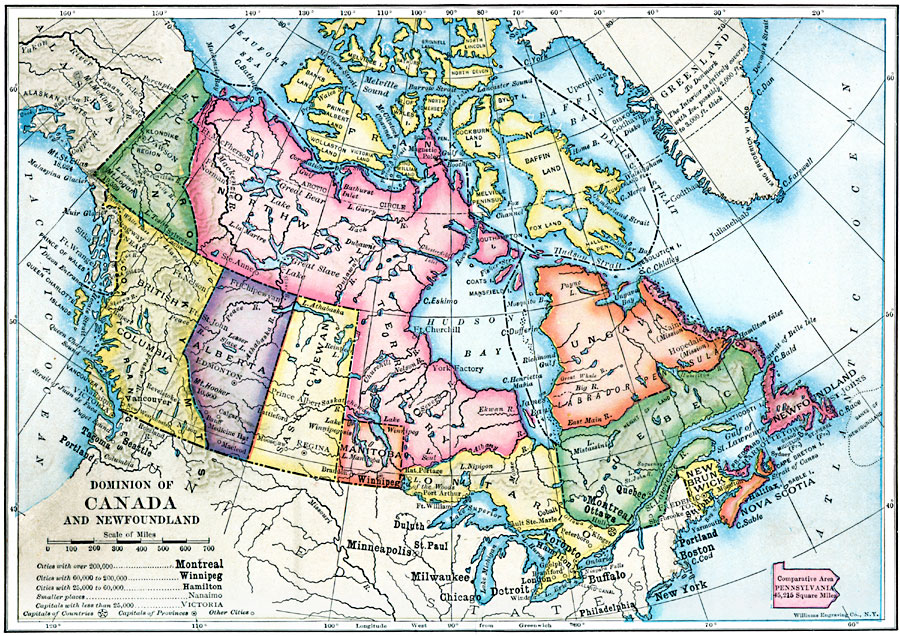
Description: A map from 1910 of the Dominion of Canada and Newfoundland (Newfoundland and Labrador were not part of the Canadian Confederation until 1949), showing the provinces at the time, provincial capitals, major cities, towns, and settlements, mountain systems, lakes, rivers, coastal features, and islands of the region.
Place Names: Canada, Calgary, �Edmonton, �Montreal, �Ottawa, �Quebec, �Toronto, �Vancouver, �Winnipeg, �Victoria, �Churchill, �New Brunswic
ISO Topic Categories: boundaries,
inlandWaters,
location,
oceans
Keywords: The Dominion of Canada and Newfoundland, physical, �political, physical features, country borders,
major political subdivisions, boundaries,
inlandWaters,
location,
oceans, Unknown, 1910
Source: Ralph S. Tarr, B.S., F.G.S.A. and Frank M. McMurry, Ph.D., New Geographies 2nd ed (New York, NY: The Macmillan Company, 1910) 161
Map Credit: Courtesy the private collection of Roy Winkelman |
|