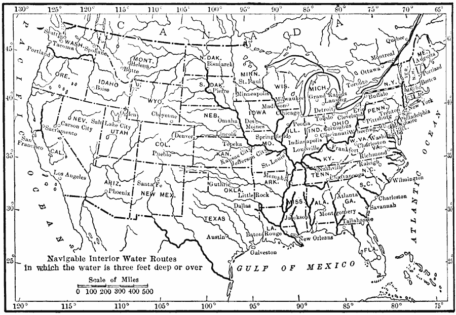
Description: A map from 1910 of the United States showing the navigable rivers and lakes of the interior in which water depths are three feet or more.
Place Names: Transportation, New Orleans, �San Francisco, �Los Angeles, �New York, �Pittsburg, �Boston, �Seattle, �Washington D.C., �Chicag
ISO Topic Categories: boundaries,
location,
inlandWaters,
oceans,
transportation
Keywords: Interior Water Routes of the United States, physical, �political, �transportation, kTransportation, physical features, country borders,
major political subdivisions, water routes, boundaries,
location,
inlandWaters,
oceans,
transportation, Unknown, 1910
Source: Ralph S. Tarr, B.S., F.G.S.A. and Frank M. McMurry, Ph.D., New Geographies 2nd ed (New York, NY: The Macmillan Company, 1910) 192
Map Credit: Courtesy the private collection of Roy Winkelman |
|