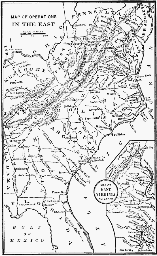
Description: A map of the Southeastern States showing American Civil War operations in the East (1861–1865). The map shows major cities and towns, rivers, terrain and coastal features, and campaign routes. An inset map details eastern Virginia.
Place Names: Civil War, Alabama, �Florida, �Georgia, �Maryland, �New Jersey, �North Carolina, �Ohio, �Pennsylvania, �South Carolina, �Tennessee, �Virginia, �West Virgini
ISO Topic Categories: oceans,
location,
inlandWaters
Keywords: Operations in the East, historical, local jurisdictions, water routes, historical event, oceans,
location,
inlandWaters, Unknown, 1861–1865
Source: William Swinton, First Lessons in Our Countries History (New York, NY: American Book Company, 1894) 179
Map Credit: Courtesy the private collection of Roy Winkelman |
|