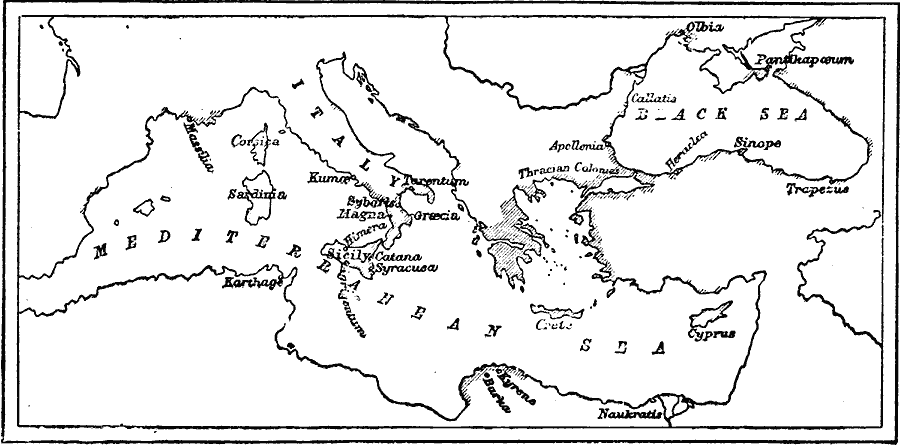
Description: A map of the Mediterranean and Black Sea during the Greek colonial period around 550 BC, showing the settlements of Tarentium (Taranto), Magna, Catana, Syracuse, Burka, Naukratis, Crete, Heraclea, Sinope, and Olbia.
Place Names: Greece, Apollonia, �Black Sea, �Corsica, �Crete, �Cypress, �Meditteranean Sea, �Sardinia, �Sicily, �Thracian Colonies,
ISO Topic Categories: oceans,
location,
inlandWaters
Keywords: The Greek Colonies, borders, �historical, kAncientGreece, country borders, oceans,
location,
inlandWaters, Unknown, circa 550 BC
Source: C. A. Fyffe , History of Greece (New York, New York: D. Appleton and Company, 1876) 34
Map Credit: Courtesy the private collection of Roy Winkelman |
|