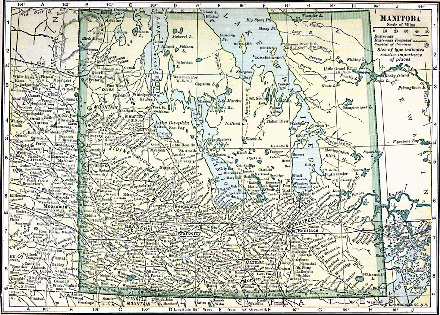
Description: A map from 1909 of Manitoba showing the provincial capital of Winnipeg, major cities and towns, existing and proposed railroads, terrain features, lakes, and rivers. The map shows the province boundaries prior to the territorial expansion in 1912 north to the Hudson Bay. At this time, Manitoba was referred to as the "Postage–stamp Province."
Place Names: Canada, Manitoba, �Winnipeg,
ISO Topic Categories: oceans,
location,
inlandWaters
Keywords: Manitoba, borders, �political, �railroad, �transportation, county borders, railroads, oceans,
location,
inlandWaters, Unknown, 1909
Source: C. S. Hammond, Hammond's Handy Atlas of the World (New York, NY: C. S. Hammond & Company, 1911) 13
Map Credit: Courtesy the private collection of Roy Winkelman |
|