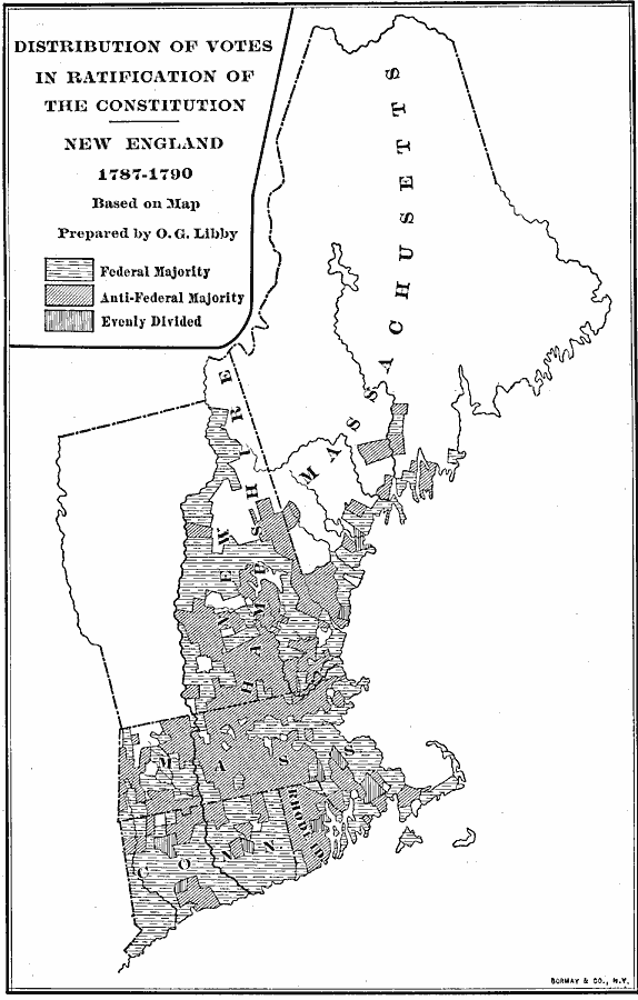
Description: A map showing the distribution of votes in the ratification of the Constitution (1787–1790) for the New England States. The map is keyed to show areas where the vote was a Federal majority, where there was an anti-Federal majority, and areas where the vote was evenly divided.
Place Names: Early America 1400-1800, constitution, �New Englan
ISO Topic Categories: boundaries,
location
Keywords: Distribution of Votes in Ratification of the Constitution in New England, physical, �political, physical features, major political subdivisions, boundaries,
location, Unknown, 1787–1790
Source: Albert Bushnell Hart, LL.D., The American Nation Vol 10 (New York, NY: Harper and Brothers, 1906) 300
Map Credit: Courtesy the private collection of Roy Winkelman |
|