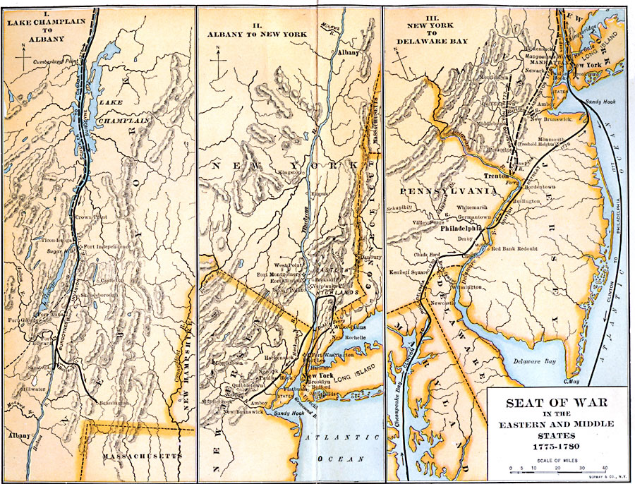
Description: A series of three maps showing the northern operations during the Revolutionary War. The left map details the Hudson Valley from Lake Champlain to Albany area, the middle map details Hudson Valley from Albany to Long Island, and the right map shows the area from Long Island to the Delaware Bay. The maps show the major campaign routes, forts, battle sites, terrain and coastal features, rivers, and major cities and towns at the time.
Place Names: Early America 1400-1800, New York, �Philadelphia, �Trenton, �Newark, �American Revolutio
ISO Topic Categories: transportation,
inlandWaters,
location,
oceans,
boundaries,
intelligenceMilitary
Keywords: Seat of the War in the Eastern and Middle States, physical, �political, �transportation, kAmericanRevolution, physical features, country borders, roads,
water routes, transportation,
inlandWaters,
location,
oceans,
boundaries,
intelligenceMilitary, Unknown, 1775–1780
Source: Albert Bushnell Hart, LL.D., The American Nation Vol 9 (New York, NY: Harper and Brothers, 1906) 26
Map Credit: Courtesy the private collection of Roy Winkelman |
|