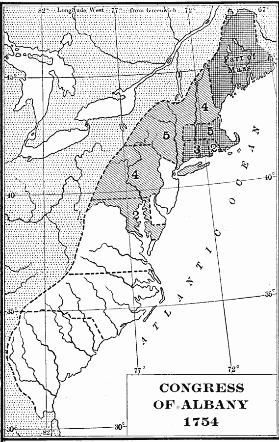
Description: A map of the British Colonies showing the colonies participating in the Albany Congress of 1754 and the number of delegates from each.
Place Names: Early America 1400-1800,
ISO Topic Categories: boundaries,
inlandWaters,
location,
oceans
Keywords: Designation of Members to the General Congress of Albany, physical, �political, �General Congress of Albany, physical features, country borders,
major political subdivisions, boundaries,
inlandWaters,
location,
oceans, Unknown, 1754
Source: Albert Bushnell Hart, LL.D., The American Nation Vol 8 (New York, NY: Harper and Brothers, 1906) 154
Map Credit: Courtesy the private collection of Roy Winkelman |
|