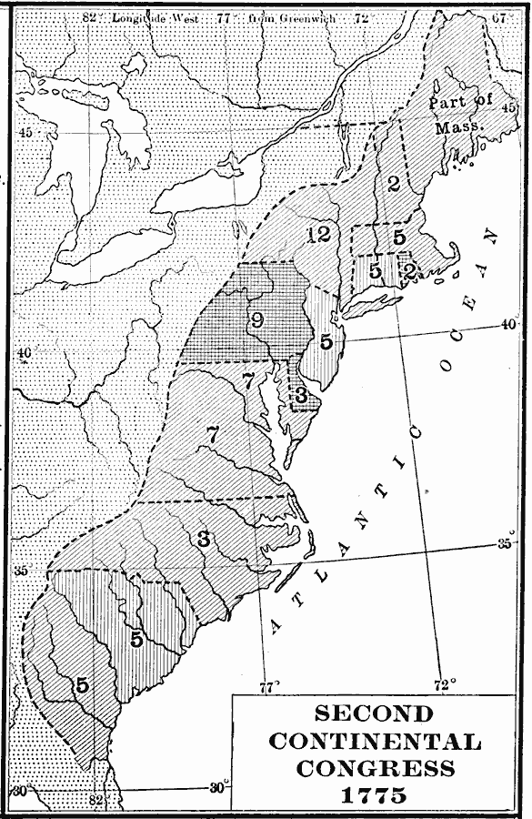
Description: A map of the thirteen colonies during the Second Continental Congress held in Philadelphia in 1775, showing the number of delegates from each of the colonies.
Place Names: Early America 1400-1800,
ISO Topic Categories: boundaries,
location,
oceans,
inlandWaters
Keywords: Second Continental Congress, physical, �political, �second continental congress, kAmericanRevolution, physical features, major political subdivisions, boundaries,
location,
oceans,
inlandWaters, Unknown, 1775
Source: Albert Bushnell Hart, LL.D., The American Nation Vol 8 (New York, NY: Harper and Brothers, 1906) 282
Map Credit: Courtesy the private collection of Roy Winkelman |
|