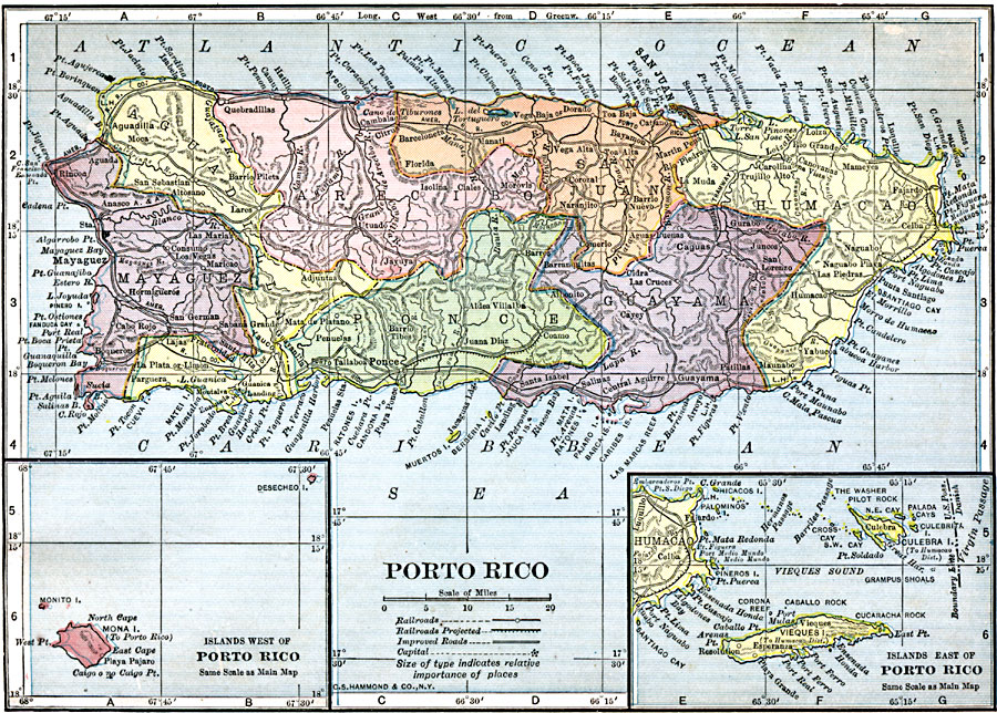
Description: A map from 1909 of Porto Rico (Puerto Rico) with inset maps of the islands to the west and east belonging to Porto Rico. The map shows the capital of San Juan, major cities and towns, existing and proposed railways, main roads and cart roads, lakes and rivers, mountains, coastal features, and smaller neighboring islands.
Place Names: Puerto Rico,
ISO Topic Categories: oceans,
location,
inlandWaters
Keywords: Porto Rico, local jurisdictions, �political, �railroads, �transportation, ��local jurisdictions, railroads, oceans,
location,
inlandWaters, Unknown, 1909
Source: C. S. Hammond, Hammond's Handy Atlas of the World (New York, NY: C. S. Hammond & Company, 1911) 69
Map Credit: Courtesy the private collection of Roy Winkelman |
|