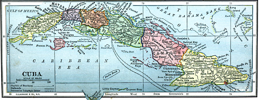
Description: A map from 1909 of Cuba and the Isle of Pines showing the provinces and provincial capitals, major cities and towns, railroads, submarine telegraph cable routes, rivers, terrain and coastal features, reefs, and smaller islands.
Place Names: Cuba, Camaguey, �Havana, �Manzanillo, �Matanzas, �Trinida
ISO Topic Categories: oceans,
location,
inlandWaters
Keywords: Cuba, local jurisdictions, �political, �railroads, �transportation, ��local jurisdictions, railroads, oceans,
location,
inlandWaters, Unknown, 1909
Source: C. S. Hammond, Hammond's Handy Atlas of the World (New York, NY: C. S. Hammond & Company, 1911) 70
Map Credit: Courtesy the private collection of Roy Winkelman |
|