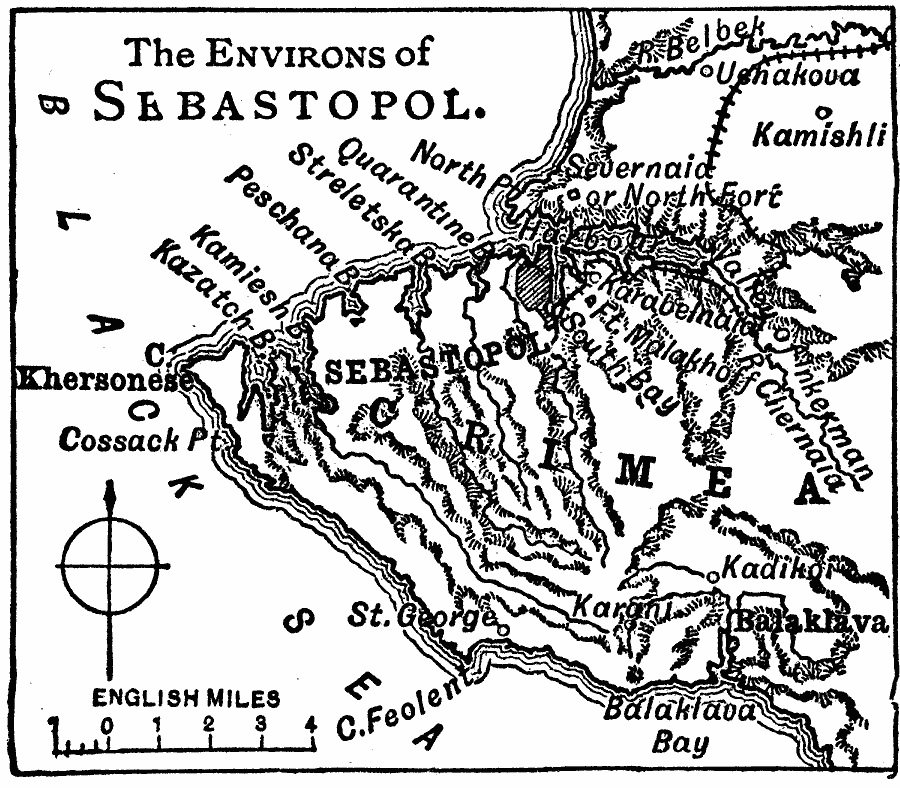
Description: A map from 1919 of the area around Sebastopol (Sevastopol) on the western shore of the Crimean Peninsula in the Black Sea. The map shows the railway, forts, terrain and coastal features, and the neighboring cities of Balaklava, Karani, Kadikoi, Inkerman, Kamishli, and Ushakova.
Place Names: Russia, Sebastopol, �Khersone
ISO Topic Categories: boundaries,
inlandWaters,
location,
oceans,
transportation
Keywords: Sebastopol and Western Crimea, physical, �transportation, physical features, railroads, boundaries,
inlandWaters,
location,
oceans,
transportation, Unknown, 1919
Source: Charles Morris, Winston's Cumulative Encyclopedia Vol 9 (Philadelphia, PA: The John C. Winston Company, 1919) tab 4
Map Credit: Courtesy the private collection of Roy Winkelman |
|