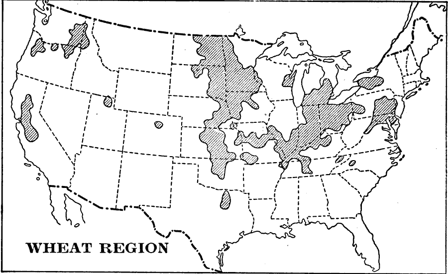
Description: A map from 1897 of the United States showing the region of potato production.
Place Names: Agriculture, Boston, �Chicago, �Houston, �Los Angeles, �Miami, �New Orleans, �New York, �San Diego, �Seattle, �Washington D.C., �whea
ISO Topic Categories: location,
oceans,
inlandWaters
Keywords: The United States - Wheat Region, agriculture, �economic, �industry, �statistical, kAgriculture, agriculture,
industry,
economic, location,
oceans,
inlandWaters, Unknown, 1897
Source: Jacques W. Redway & Russell Hinman, Natural Introductory Geography (New York, NY: American Book Company, 1897) 38
Map Credit: Courtesy the private collection of Roy Winkelman |
|