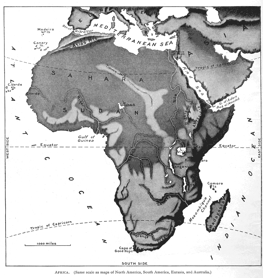
Description: Relief map of Africa showing the major river, lake, and mountain systems on the continent. Also shown are surrounding waters, island groups, and the latitudes of the Equator, Tropic of Cancer, and Tropic of Capricorn.
Place Names: A Complete Map of Africa, Strait of Gibraltar, Mediterranean Sea, Red Sea, Gulf of Aden, Strait of Bab el Mandeb, Mozambique Channel, Cape of Good Hope, Gulf of Guinea, Cape Verde Islands, Canary Islands, Madeira Islands, Comoro Islands, Madagascar, Kongo River, Orange River, Zambezi River, Nile River, Isthmus of Suez, Niger River, Lake Nyassa, Lake Tanganyika, Lake Victoria, Lake Tchad, Dragon Mountains, Mount Kilimonjaro, Mount Kenya, Highland of Abyssinia, Timmo Mountains, Atlas Mountains, Sudan, Sahara, Cape Verde
ISO Topic Categories: location,
oceans,
inlandWaters
Keywords: Relief Map of Africa, physical, �topographical, �political, kRelief, physical features,
topographical, location,
oceans,
inlandWaters, Unknown, 1897
Source: Jacques W. Redway & Russell Hinman, Natural Introductory Geography (New York, NY: American Book Company, 1897) 126
Map Credit: Courtesy the private collection of Roy Winkelman |
|