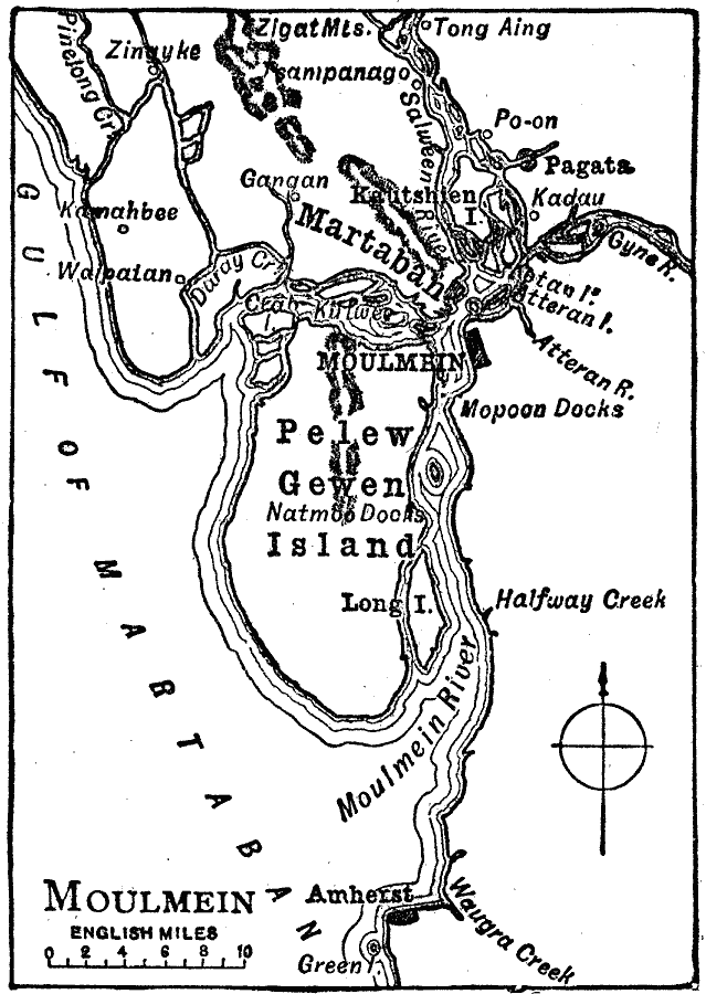
Description: A map from 1919 of the area around Moulmein (Mawlamyine), Burma (Myanmar), at the time. Moulmein is the third largest city of the country and major trade center and sea port, and this map shows the Salween (Thanlwin) River, Pelew Gewen Island, Mopoon and Natmoo docks, Zigat Mountains, and the neighboring cities and towns of Martaban (Mottama), Tong Aing, Kadau, Gangan, and Amherst.
Place Names: Burma (Myanmar), Mawlamyin
ISO Topic Categories: oceans,
location,
inlandWaters
Keywords: Moulmein, physical, �political, physical features, local jurisdictions, oceans,
location,
inlandWaters, Unknown, 1919
Source: Charles Morris, Winston's Cumulative Encyclopedia Vol 7 (Philadelphia, PA: The John C. Winston Company, 1919) tab 3
Map Credit: Courtesy the private collection of Roy Winkelman |
|