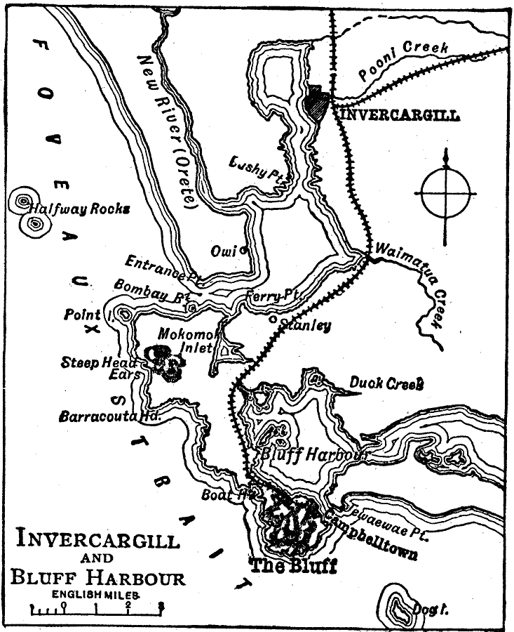
Description: A map from 1919 showing Invercargill and Bluff Harbor at the southern tip of New Zealand's South Island. This map shows railways, rivers, coastal features, the Foveaux Strait between the South Island and Stewart Island, and the neighboring towns of Owi, Stanley, and Campbelltown.
Place Names: New Zealand, Invercargil
ISO Topic Categories: boundaries,
transportation,
inlandWaters,
location,
oceans
Keywords: Invercargill and Bluff Harbor, physical, �transportation, �political, physical features, local jurisdictions, railroads, boundaries,
transportation,
inlandWaters,
location,
oceans, Unknown, 1919
Source: Charles Morris, Winston's Cumulative Encyclopedia Vol 5 (Philadelphia, PA: The John C. Winston Company, 1919) tab 5
Map Credit: Courtesy the private collection of Roy Winkelman |
|