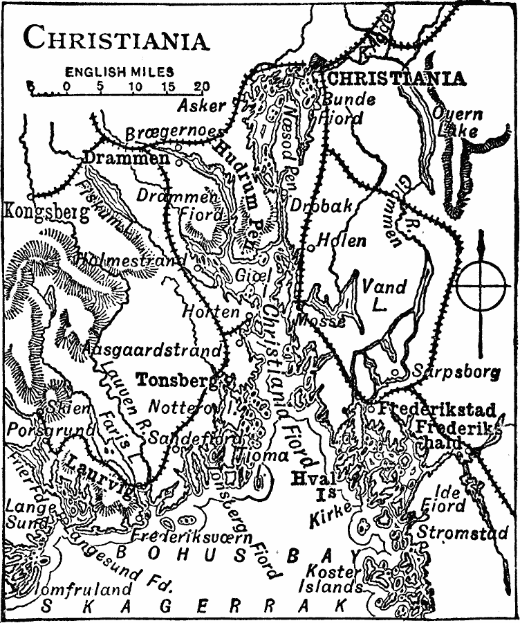
Description: A map of the area around Oslo in 1919, formerly known as Christiana. This map shows the waterway from Skagerrak and Bohus Bay along the Christiania Fiord to Christiania, the Hudrum and Noesod peninsulas, neighboring cities, railways, rivers, lakes and coastal features of the area.
Place Names: Norway, Oslo, Drammen, Kongsberg, Tonsberg, Laurvig, Skien, Frederikstad
ISO Topic Categories: transportation,
location,
oceans,
inlandWaters
Keywords: Christiania, physical, �political, �transportation, physical features, local jurisdictions, railroads, transportation,
location,
oceans,
inlandWaters, Unknown, 1919
Source: Charles Morris, Winston's Cumulative Encyclopedia Vol 3 (Philadelphia, PA: The John C. Winston Company, 1919) tab 1
Map Credit: Courtesy the private collection of Roy Winkelman |
|