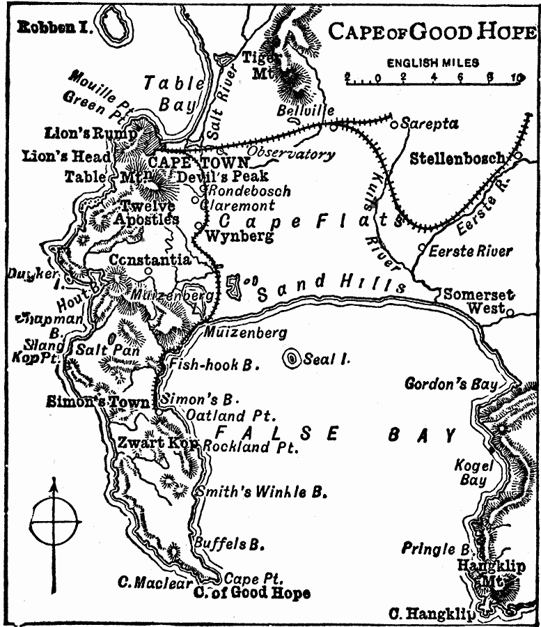
Description: A map detailing the area around Cape Town and the Cape of Good Hope around 1919. The map shows the cities and railroads of the cape, and the prominent mountains and coastal features in the area including Tiger Mountain, Devils Peak, Twelve Apostles, Hangklip Mountain, False Bay, Fish–hook Bay, Table Bay, and Cape of Good Hope. Robben Island, the infamous penal island in Table Bay is shown.
Place Names: South Africa, Simon's Town, �Constantia, �Cape Town, Robben Island
ISO Topic Categories: transportation,
boundaries,
location,
oceans,
inlandWaters
Keywords: Cape of Good Hope, physical, �political, �transportation, physical features, local jurisdictions, railroads, transportation,
boundaries,
location,
oceans,
inlandWaters, Unknown, 1919
Source: Charles Morris, Winston's Cumulative Encyclopedia Vol 2 (Philadelphia, PA: The John C. Winston Company, 1919) tab 9
Map Credit: Courtesy the private collection of Roy Winkelman |
|