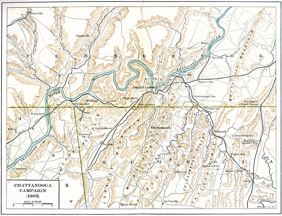
Description: A detailed map of the area around Chattanooga, Tennessee, showing the region during the Chattanooga Campaign of the American Civil War in October–November, 1863. The map shows the state boundaries of Tennessee, Alabama, and Georgia, cities and towns, roads and railroads, terrain features, the Tennessee River and other rives in the area.
Place Names: Civil War, Chattanooga, �Trenton, �Dalto
ISO Topic Categories: inlandWaters,
intelligenceMilitary,
location,
boundaries,
transportation
Keywords: Chattanooga Campaign, political, �physical, �transportation, �historical, physical features, major political subdivisions,
local jurisdictions, roads, Civil War, inlandWaters,
intelligenceMilitary,
location,
boundaries,
transportation, Unknown, 1863
Source: Albert Bushnell Hart, LL.D., The American Nation Vol. 21 (New York, NY: Harper and Brothers, 1907) 43
Map Credit: Courtesy the private collection of Roy Winkelman |
|