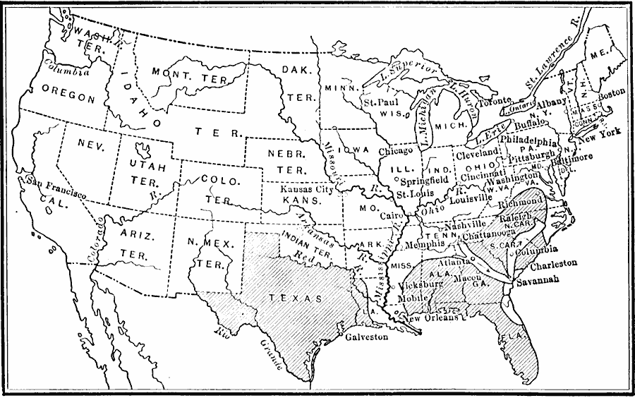
Description: A map of the United States showing the territory held by the Confederacy at the close of 1864.
Place Names: Civil War, Alabama, �Florida, �Georgia, �Louisiana, �Mississippi River, �North Carolina, �South Carolina, �Texas, �United States, �Virgini
ISO Topic Categories: oceans,
location,
inlandWaters,
boundaries
Keywords: Territory held by the Confederates, borders, �historical, �land, �physical, �physical features, historical event, oceans,
location,
inlandWaters,
boundaries, Unknown, 1864
Source: S.E. Forman, Advanced American History (New York, NY: The Century Company, 1919) 461
Map Credit: Courtesy the private collection of Roy Winkelman |
|