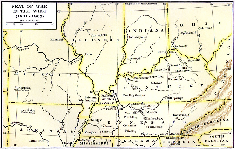
Description: A map showing the western seat of the American Civil War (1861–1865). The map shows the principal areas of conflict from the Ohio and Missouri rivers south to the Mississippi and Alabama State Lines, showing major cities and towns, terrain features, and rivers of the area.
Place Names: Civil War, Columbus, �Knoxville, �Cincinnati, �Little Roc
ISO Topic Categories: inlandWaters,
location,
boundaries,
intelligenceMilitary
Keywords: Seat of War in the West, physical, �political, �historical, physical features, major political subdivisions, Civil War, inlandWaters,
location,
boundaries,
intelligenceMilitary, Unknown, 1861–1865
Source: Albert Bushnell Hart, LL.D., The American Nation Vol. 20 (New York, NY: Harper and Brothers, 1907) 86
Map Credit: Courtesy the private collection of Roy Winkelman |
|