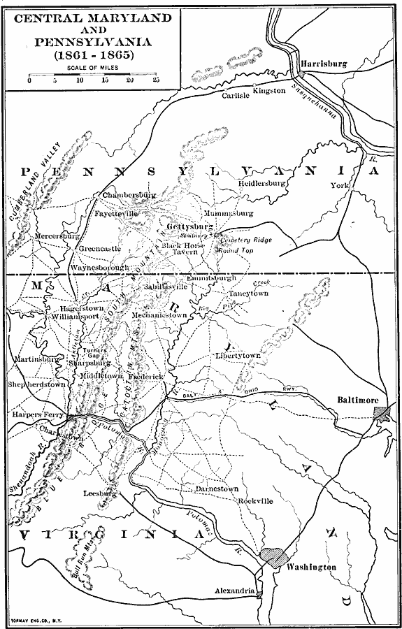
Description: A map of central Maryland and Pennsylvania during the American Civil War (1861–1865) showing major cities and towns, roads, railroads, terrain features, rivers, and several battle sites. Included on the map are Washington, Alexandria, Harpers Ferry, Baltimore, Sharpsburg, Gettysburg, and Harrisburg.
Place Names: Civil War, Washington D.C., �Gettysburg, �Harrisbur
ISO Topic Categories: boundaries,
inlandWaters,
location,
transportation
Keywords: Central Maryland and Pennsylvania, physical, �political, �transportation, �historical, physical features, major political subdivisions,
local jurisdictions, roads,
railroads, Civil War, boundaries,
inlandWaters,
location,
transportation, Unknown, 1861–1865
Source: Albert Bushnell Hart, LL.D., The American Nation Vol. 20 (New York, NY: Harper and Brothers, 1907) 188
Map Credit: Courtesy the private collection of Roy Winkelman |
|