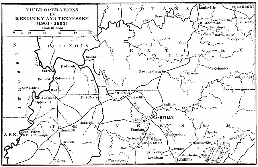
Description: A map showing the field operations in Kentucky and Tennessee during the American Civil War (1861–1865). The map shows major cities and towns, forts, railroads, campaign routes, and rivers of the area.
Place Names: Civil War, Nashville, �Frankfort, �Louisville, �Kentucky, �Tennessee,
ISO Topic Categories: intelligenceMilitary,
inlandWaters,
location,
transportation,
boundaries
Keywords: Field Operations in Kentucky and Tennessee, physical, �political, �transportation, �historical, physical features, major political subdivisions, railroads, Civil War, intelligenceMilitary,
inlandWaters,
location,
transportation,
boundaries, Unknown, 1861–1865
Source: Albert Bushnell Hart, LL.D., The American Nation Vol. 20 (New York, NY: Harper and Brothers, 1907) 220
Map Credit: Courtesy the private collection of Roy Winkelman |
|