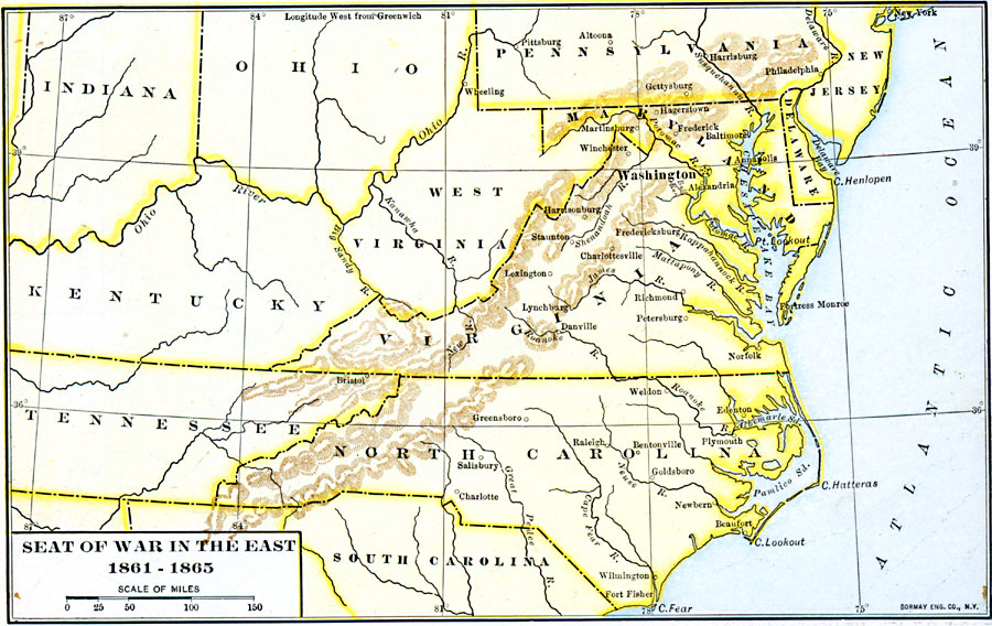
Description: A map showing the seat of the American Civil War (1861–1865) in the east. The map shows the principal areas of conflict from southern Pennsylvania (Harrisburg and Gettysburg) south to the South Carolina State Line, showing major cities and towns, terrain features, and rivers of the area.
Place Names: Civil War, Delaware, �Indiana, �Kentucky, �Maryland, �New Jersey, �North Carolina, �Ohio, �Pennsylvania, �South Carolina, �Tennessee, �Virgini
ISO Topic Categories: oceans,
location,
inlandWaters
Keywords: Seat of War in the East , historical, �political, �subdivisions, �war, �major political subdivisions, historical event, oceans,
location,
inlandWaters, Unknown, 1861–1865
Source: Dixon Ryan Fox, Harper's Atlas of American History (New York, NY: Harper & Brothers Publishers , 1920) 58
Map Credit: Courtesy the private collection of Roy Winkelman |
|