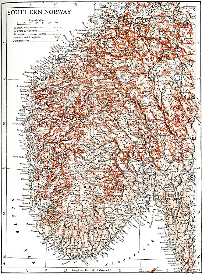
Description: A map of southern Norway.
Place Names: Norway, Fredriksta
ISO Topic Categories: location,
oceans,
inlandWaters,
transportation
Keywords: Southern Norway, physical, �transportation, physical features, railroads, location,
oceans,
inlandWaters,
transportation, Unknown, 1911
Source: The Encyclopedia Britannica, The Encyclopedia Britannica Vol 19 (New York, NY: The Encyclopedia Britannica Company, 1911) 805
Map Credit: Courtesy the private collection of Roy Winkelman |
|