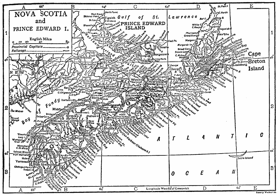
Description: A map from 1911 of Nova Scotia and Prince Edward Island, showing the provincial capitals of Halifax and Charlottetown, major cities and towns, railways, lakes and rivers, coastal features, and smaller neighboring islands.
Place Names: Canada, Nova Scotia, �Prince Edward Islan
ISO Topic Categories: transportation,
oceans,
location,
inlandWaters
Keywords: Nova Scotia and Prince Edward Island, physical, �transportation, physical features, railroads, transportation,
oceans,
location,
inlandWaters, Unknown, 1911
Source: The Encyclopedia Britannica, The Encyclopedia Britannica Vol 19 (New York, NY: The Encyclopedia Britannica Company, 1911) 831
Map Credit: Courtesy the private collection of Roy Winkelman |
|