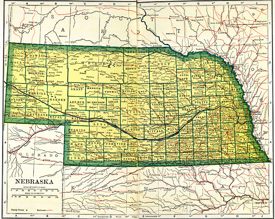
Description: A map from 1919 of Nebraska showing the capital of Lincoln, counties and county seats, major cities and towns, railroads, and rivers.
Place Names: Nebraska, Columbus, �Fremont, �Ft. Kearney, �Lincoln, �Nebraska City, �Niobrara, �North Platte, �Omaha, �Stockville, �Waho
ISO Topic Categories: oceans,
location,
inlandWaters,
transportation
Keywords: Nebraska, borders, �physical, �railroads, �transportation, �country borders,
county borders, railroads, oceans,
location,
inlandWaters,
transportation, Unknown, 1919
Source: L.L. Poates, Poates Complete Atlas of the World (New York, NY: Poates Corporation , 1921) 78-79
Map Credit: Courtesy the private collection of Roy Winkelman |
|